
Dolton ZIP Directory Coverage
Official sources support 60419 as the main Dolton postal code. They do not support presenting a second code as a village-wide ZIP. That narrow fact is useful. It keeps the Dolton ZIP code directory tied to verified postal evidence while leaving edge addresses open for individual testing. The Post Office listing uses Dolton, IL 60419-9998, but the final four digits identify that postal facility, not every home in the village.
| ZIP | Area represented | Postal reference | Research caution |
|---|---|---|---|
| 60419 | Dolton postal addresses | Dolton Post Office, 14212 Cottage Grove Avenue | Postal coverage is not the village boundary |
| 60419-9998 | Post Office facility identifier | Dolton Post Office listing | Do not apply this ZIP+4 to residential addresses |
| Edge addresses | Test one address at a time | USPS address lookup | No verified second village ZIP was found |
The research did not locate a documented Dolton ZIP split, realignment, PO-box-only code, or unique institutional ZIP. Rather than fill those gaps with third-party lists, verify a disputed address through the USPS ZIP lookup. Then compare its city and code with Cook County parcel geography.
Search 60419 the USPS Way
USPS offers three distinct searches: an exact address to a ZIP, a city and state to possible ZIPs, and a ZIP to city labels. The first mode is strongest for a Dolton home because it can standardize a street and apartment line. A city-to-code result is broader. A ZIP-to-city result explains accepted postal names, but it does not identify a resident.
| USPS mode | Fields supplied | Best use |
|---|---|---|
| Find by address | Company optional; street required; apartment/suite; city; state; ZIP | Normalize one Dolton mailing address |
| Find by city/state | City and state | Check which postal codes USPS associates with a place label |
| Find cities by ZIP | Five-digit ZIP | Review postal city names accepted for that code |
A USPS result is not evidence that a named person or firm occupies the address. Save the query date and the exact line entered. Postal standards change, and the same unit may fail if it is omitted or formatted in a way the tool does not recognize.
Dolton ZIP and ZCTA Differ
The Census Bureau describes ZCTAs as generalized areas built from delivery points and 2020 Census blocks. A ZCTA is designed for statistics. It is not an exact map of USPS delivery operations. This difference matters when a table labeled 60419 is compared with the incorporated village.
Use the Dolton village place for village-wide Census facts, including FIPS 1720292. Use a ZCTA for an approximate ZIP-shaped statistical area. Use USPS for the current mailing line. Finally, use CookViewer for the parcel and municipal context. The Dolton ZIP code directory stays accurate only when each layer is labeled by its real source.
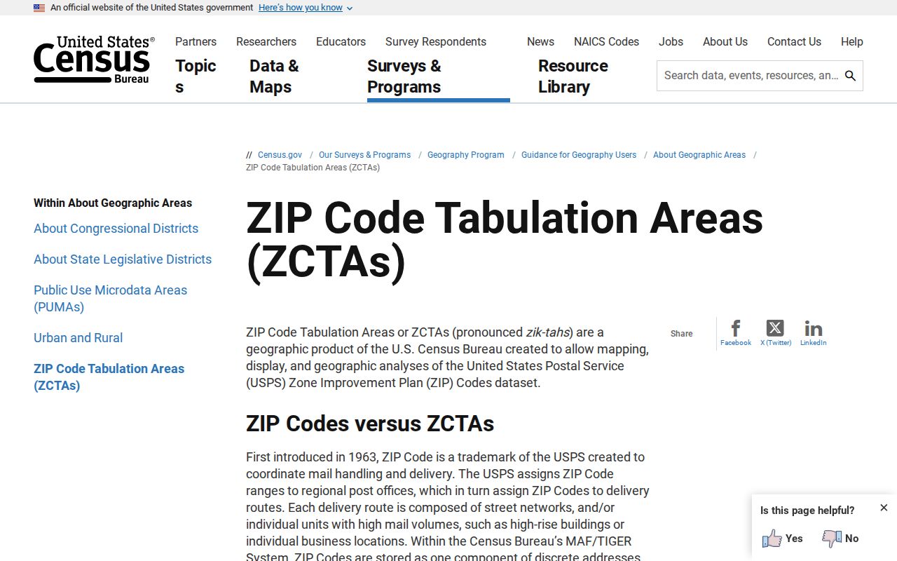
The Census ZCTA methodology screen shows the separate statistical framework.
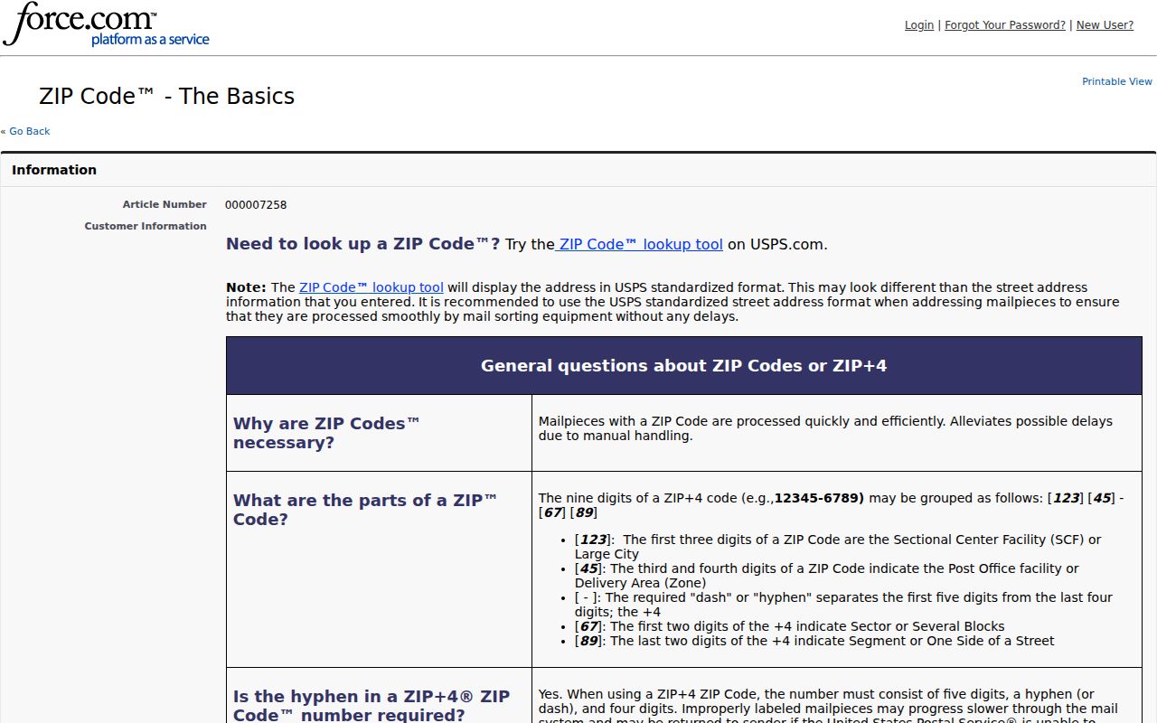
USPS ZIP Code basics illustrate why those lines do not match.
Find Dolton Residents by ZIP
A ZIP narrows a query, but it rarely finishes one. The Illinois voter lookup uses a five-digit code only after a first name, last name, and birth date are supplied. It then asks for a street number and offers a street-name list based on that ZIP. The Cook property portal also accepts ZIP with the house number, street, unit, and city. Neither tool exposes a safe list of everyone in 60419.
- Normalize the complete street and unit through USPS. Record the returned five-digit code and ZIP+4 only if it appears.
- Enter the same address in the Cook property portal. Once a parcel appears, retain its 14-digit Property Index Number, or PIN.
- Open CookViewer by address or PIN and confirm the parcel’s municipality, township, and nearby boundary layers.
- For your own voter registration, use the state form with name, birth date, ZIP, street number, and validated street name.
Once one code has narrowed the area, the Dolton street directory explains the address and parcel trail in full. That move from ZIP to street prevents broad results from being mistaken for one household.
Dolton Property Search by ZIP
The Cook County Property Information search accepts a house number, street, unit, city, and ZIP, or a 14-digit PIN. Its instructions advise leaving out street directions and abbreviations during address validation. That rule can conflict with the way a historic directory printed the line, so retain both versions.
A matched property can show its location, township, tax code and rate, classification, values, lot and building size, mailing address, exemptions, refunds, appeals, tax sale status, and a document summary. Those are property and tax facts. An owner or mailing recipient is not automatically a current occupant. For a Dolton ZIP code lookup, the PIN becomes the more stable key after this first match.
The Cook County Treasurer search screen shows the address, PIN, and geography choices used to narrow a tax record.
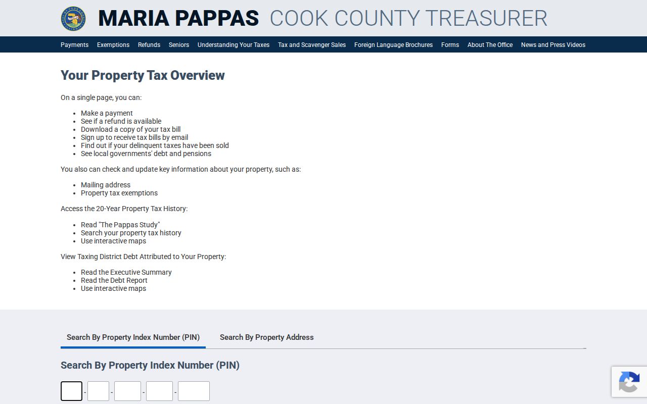
The search parameters help reproduce a query when the same street name or number occurs elsewhere in Cook County.
The Dolton PIN Beats ZIP
ZIP codes organize mail across broad areas. Cook County’s PIN identifies a tax parcel. The Assessor, Treasurer, CookViewer, property portal, and Clerk recordings systems all make better use of that parcel key than a postal code alone. A PIN also survives many spelling and unit-format differences.
Keep the interface format intact. The Assessor displays a dashed 14-digit PIN, the Treasurer may ask for four segments, and CookViewer accepts dashed or undashed forms. A ZIP-only search can yield many addresses. A known PIN lets a researcher compare the same land across tax, map, and recording records without claiming the taxpayer is a Dolton resident.
The Treasurer property overview demonstrates how tax years, payments, mailing information, and exemptions appear after a match.
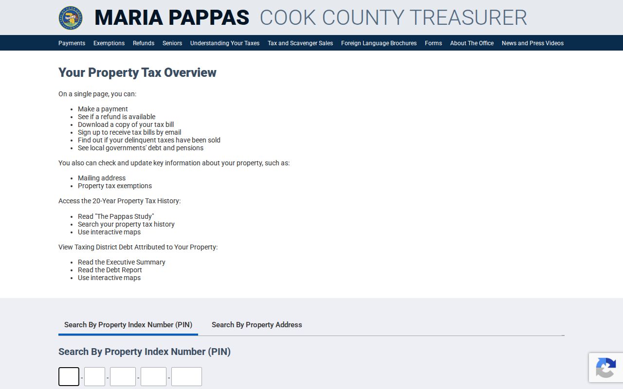
Keep the result year with any saved fact because payment, exemption, and mailing fields can change.
Note: Preserve both the raw postal address and the PIN so a later change can be checked against the original search.
Dolton ZIP Worksheet Fields
A short worksheet makes the search reproducible. Record the query date, exact input, returned standardized line, city/state label, five-digit code, ZIP+4 if shown, unit, CookViewer municipality, township, and PIN. If the source is old, add its year and preserve its original spelling.
- ZIP+4
- A delivery segment added to the five-digit postal code, often covering a smaller group of addresses.
- Postal city
- The city label USPS accepts for delivery, which may differ from an incorporated boundary.
- PIN
- Cook County’s Property Index Number for a tax parcel.
- ZCTA
- A Census statistical area that approximates ZIP geography but is not a postal route.
This record lets a family historian explain why a 1920s directory line and a current USPS line look different without assuming the home moved. It also makes an edge-address result easier to audit.
Dolton ZIP Versus Village Limits
Dolton sits in Thornton Township near Riverdale, Harvey, South Holland, Calumet City, and Chicago’s far-south neighborhoods. Older records may use one of those community labels, while modern parcel data places the land in Dolton. Postal city, township, village, precinct, and district are separate facts. A 60419 mailing line cannot settle all five.
- PO-box ZIP
- A five-digit code reserved mainly or solely for post-office boxes. None was verified as a separate Dolton village code in the research.
- Unique ZIP
- A code assigned to one high-volume organization. No Dolton example was established.
- Carrier route
- A delivery path within a ZIP. It is operational postal geography, not a village district.
- Village place
- The incorporated Dolton boundary used for municipal and Census place records.